- The URLs are 'RESTfull' protocols that use web services to request and obtain maps and GIS resources
- REST stands for REpresentational State Transfer within service-oriented architecture discussions
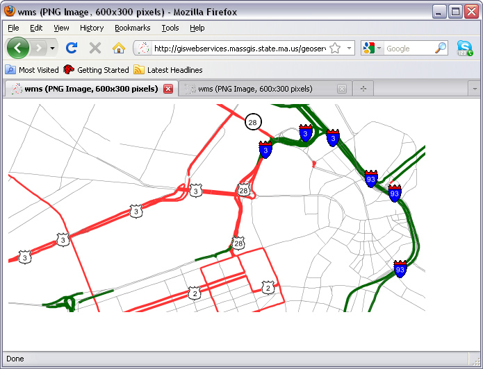
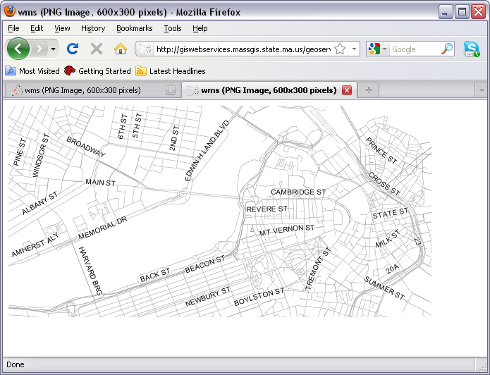
- Do you recognize the meaning of the parameters? Play with the values...
- http://giswebservices.massgis.state.ma.us/geoserver/wms?
- dpi=120&
- request=GetMap&
- layers=GISDATA.EOTMAJROADS_ARC&
- srs=EPSG:4326&
- bbox=-71.1,42.35,-71.0,42.37&
- width=1000&
- height=300&
- format=image/png&
- service=wms&
- transparent=true
- EPSG = European Petroleum Survey Group
- 4326 is the EPSG code for the World Geodesic Datum of 1984 (WGS84)
- 26986 is Mass State Plane Coordinates, NAD83 meters
- Note that some services only produce maps at particular scales
- Otherwise, get xml-tagged error message
- Recognize utility of open standards for interoperable geospatial web services
- The previous examples used the web mapping service (WMS) protocol
- from the Open Geospatial Consortium
- http://www.opengeospatial.org
- The previous examples used the web mapping service (WMS) protocol